UN Votes to Reform Africa’s Distorted Map Representations, Overcoming US Resistance
The United Nations has adopted a resolution calling for more accurate cartographic depictions of Africa, a move that highlights longstanding concerns about how the continent’s true geographic size has been systematically misrepresented on widely used world maps — and that drew pointed opposition from the United States delegation.
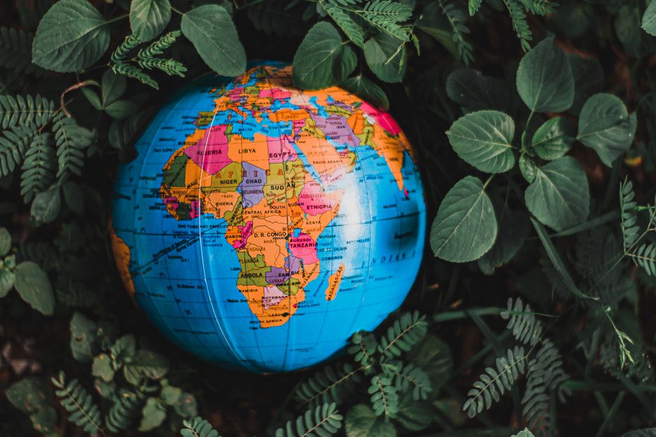
The resolution, backed by a majority of UN member states, seeks to address the distortions introduced by the Mercator projection, a mapping technique developed in the sixteenth century that significantly inflates the apparent size of landmasses closer to the poles while shrinking those near the equator. Africa, straddling the equator, is among the regions most visually diminished by this convention, despite being one of the largest landmasses on Earth — roughly three times the size of Europe and large enough to contain the contiguous United States, China, India, and much of Europe simultaneously.
A Cartographic Correction With Political Overtones
Proponents of the resolution argue that correcting these visual distortions is not merely a technical matter but carries meaningful consequences for how the world perceives and engages with Africa. Inaccurate maps, supporters contend, can subtly reinforce biases about the continent’s geopolitical and economic significance, shaping perceptions in classrooms, newsrooms, and policy circles alike. African member states and their allies framed the initiative as a question of representational fairness and historical redress.
The United States, however, pushed back firmly. According to reports, the American delegation characterised the resolution as a component of what it described as a “much larger and more radical ideological project,” suggesting Washington views the measure as extending well beyond cartography into contested terrain around identity and geopolitics. The US opposition was notable given the typically technical framing of such standardisation efforts at international bodies.
The resolution does not mandate that any particular alternative projection be adopted universally, but rather encourages member states, educational institutions, and international organisations to consider representations that more faithfully reflect the relative sizes of continents and countries. Several alternative projections — including the Peters and Winkel Tripel projections — have been championed by geographers and educators for decades as more equitable visual representations of global geography.
The vote is unlikely to produce immediate changes in how maps are printed or displayed across the world, but it lends institutional weight to campaigns already under way in several countries to introduce more proportionally accurate maps in schools and public institutions. A number of European nations have already moved in this direction at the national level, updating educational materials to reflect more balanced geographic representations.
The episode also underscores growing tensions at multilateral institutions over resolutions that blend technical standards with broader normative questions. Critics of such efforts argue they risk politicising bodies designed for cooperation on concrete, shared challenges. Supporters counter that acknowledging historical inaccuracies embedded in widely accepted conventions is itself a form of factual rigour. The outcome of the vote suggests that, at least among UN member states, the latter argument currently commands a broader coalition — though the vocal dissent from Washington signals that the debate is far from settled.